Aerial inspections
We work with the territorial institutions filming drone footage to complete:
- Environmental Analysis
- Photogrammetry
- Inspections
- Thermography
- Reconstruction of 3d models
- Surveys
- Point clouds
- Orthomosaic
- Georeferenced ortho imaging
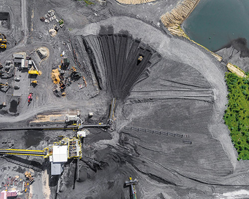
SARP can be used to inspect industrial sites and plants, surveys and to improve security and surveillance, with considerable savings of resources and enormous technical advantages.
Ask for
information
Our certifications
In our capacity as Operator/Pilot with Enac no. 3975 and no. 4488 licenses, all our services are subject to compliance with the Remote Piloted Aircraft Regulation and in particular art. 8
Our certifications