
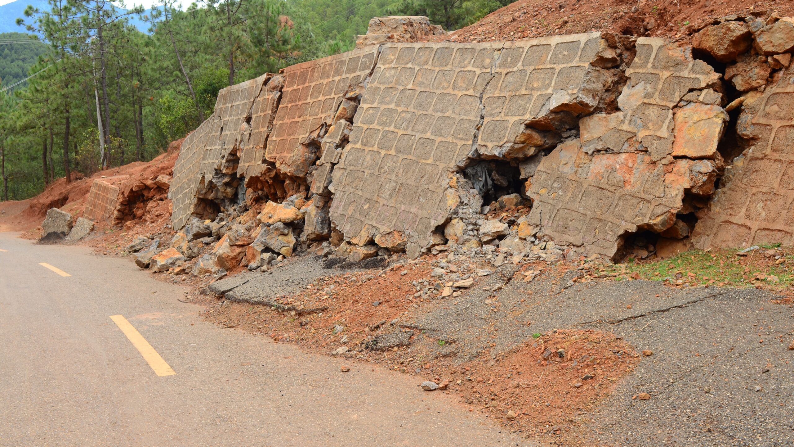
Wireless Monitoring for Landslides and Infrastructure
Dronemaster’s Standalone LoRaWAN seismic sensor is the smart, portable solution for advanced monitoring of landslides, rock faces, and hydrogeological risk areas.
Innovative, reliable, and easy to install, it addresses the most current challenges of wireless geotechnical monitoring.
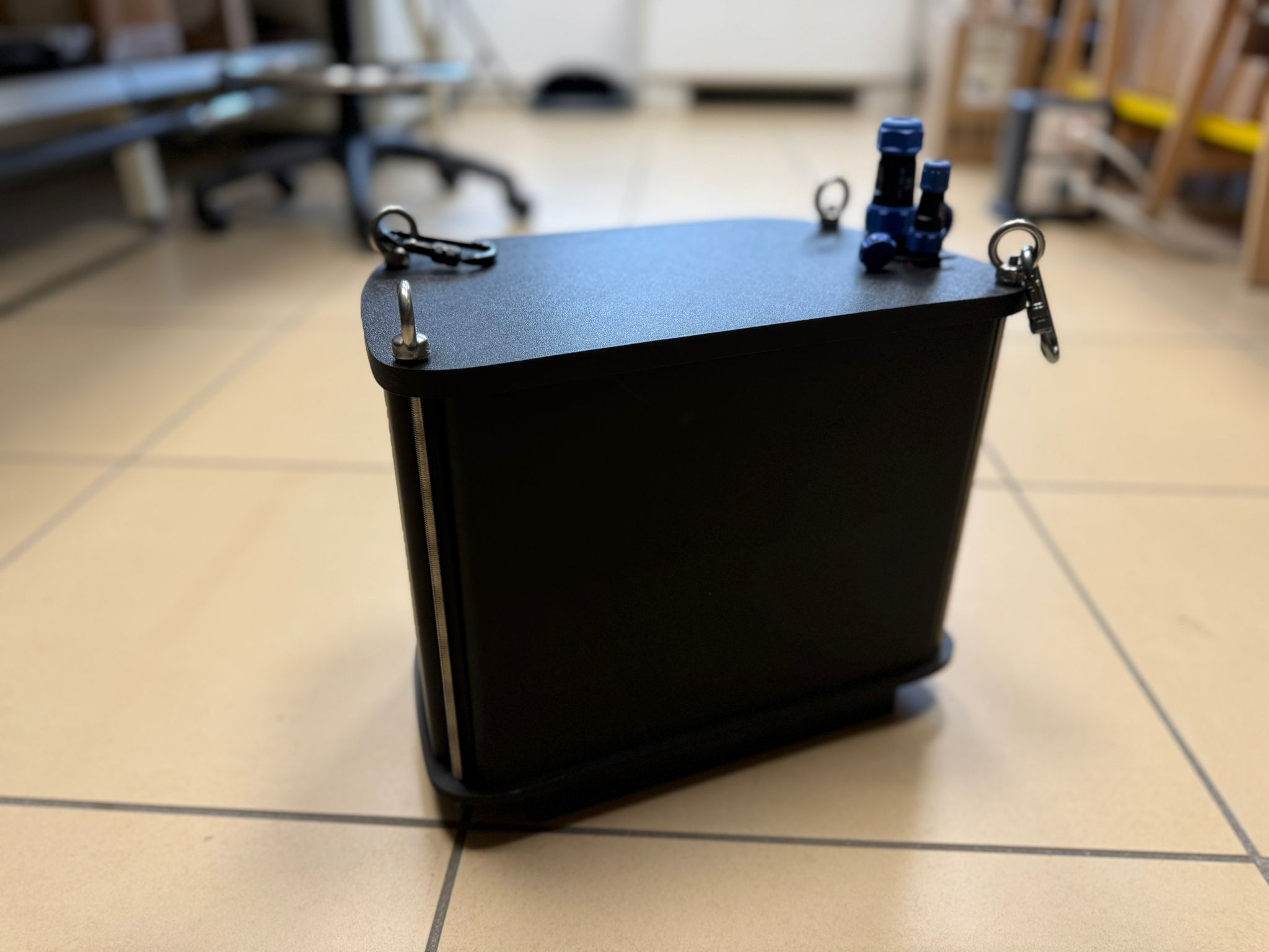
Why choose the LoRaWAN seismic sensor?
- Full autonomy: long-life battery power, continuous operation for years with no maintenance.
- Advanced connectivity: reliable data transmission via terrestrial and satellite LoRaWAN, ideal even without internet or cellular coverage.
- Fast installation: manual placement or drone deployment, perfect for inaccessible areas or one-off projects.
- High sensitivity: 9-axis accelerometer for micro-vibrations and micro-movements, with real-time data for predictive analysis.
- Maximum durability: IP64 protection rating (upgrading to IP68), engineered for harsh environments.
Operational benefits and strategic applications
The Standalone LoRaWAN seismic sensor reduces risks for personnel, eliminates complex cabling, and ensures continuous monitoring even where traditional infrastructure is not available.
Ideal for:
- Slope control: monitoring of landslides, ground slips, and high-risk rock faces.
- Hydraulic infrastructure: surveillance of embankments, dams, riverbeds, and critical structures.
- Mountain and remote areas: monitoring of bridges, viaducts, tunnels, and strategic assets.
- Special projects: support for civil engineering, civil protection, emergency management, and predictive analysis with integrated drone and laser-scanner survey data.
Digital integration and centralized management
Compatible with drone-based photogrammetric and laser-scanner surveys, the sensor integrates into corporate digital workflows, enabling multidimensional analysis and centralized data management through customizable dashboards.
Request a technical consultation
Discover how the LoRaWAN seismic sensor can revolutionize geotechnical and environmental monitoring.
Contact us for a technical demo or a tailored consultation.
// Contacts ACTIVE CHANNEL
Request a technical assessment
Provide preliminary information regarding the operational context, existing infrastructure, and project objectives. A Dronemaster System Integrator will evaluate the technical, engineering, and architectural feasibility of the request.