


With Dronemaster, you bring innovation to the construction sector through our BIM services with drones, terrestrial scanners, and GeoRadar. We use advanced technologies for 3D modeling, building digitization, and subsurface analysis, providing precise and reliable aerial and terrestrial surveys for every project phase.
Our BIM surveys allow the acquisition of detailed and up-to-date topographic and volumetric data, essential for planning, design, and site monitoring.
Integration with GeoRadar also enables the detection of underground structures and anomalies, providing a complete view both above and below the surface.
By integrating all this information into BIM models, we optimize design processes, reducing survey time and costs and improving information management throughout the building lifecycle.
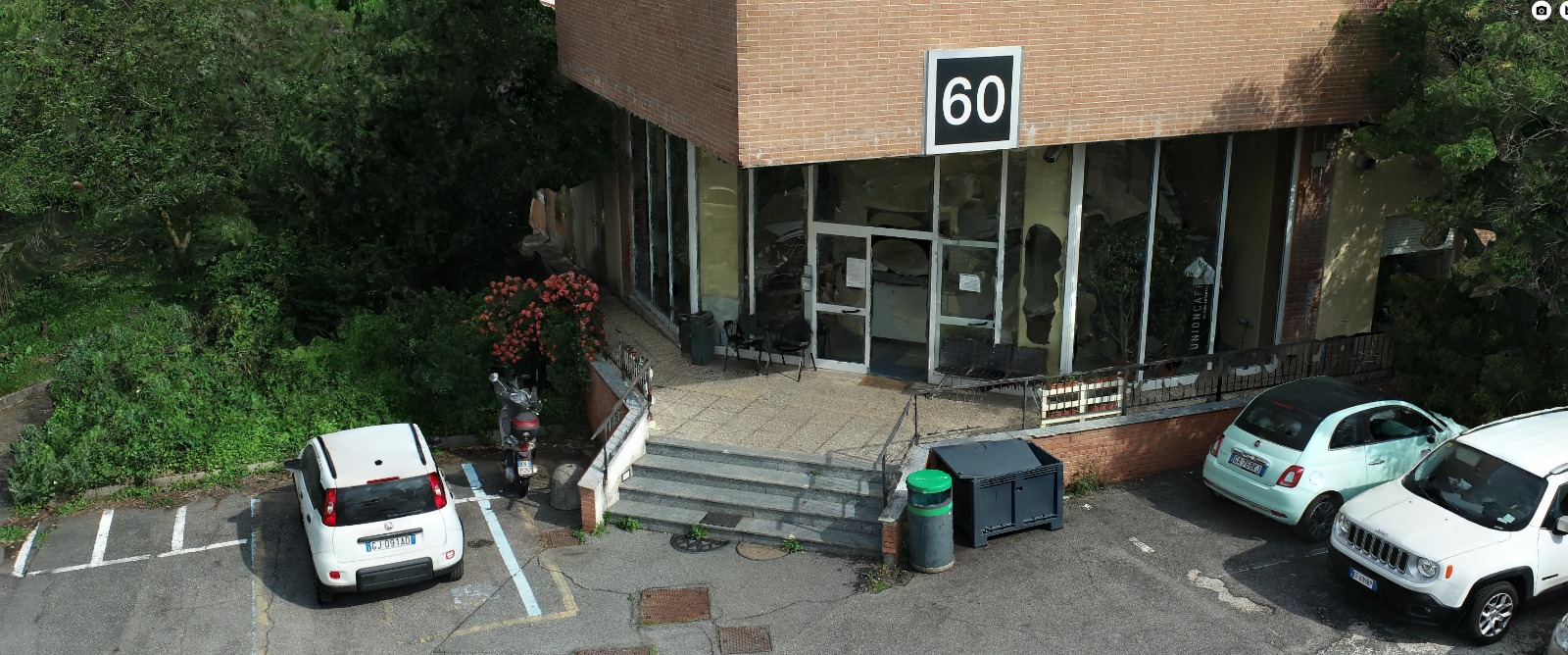
Our Solution:
- Aerial topographic surveys for accurate BIM models
- 3D mapping of buildings, infrastructure, and land using drones and terrestrial scanners
- Inspections with drones and terrestrial scanners for advanced monitoring of sites and structures
- Data integration between drone surveys, terrestrial scanners, GeoRadar, and BIM software
- Subsurface analysis and anomaly detection with GeoRadar
- Support for digitization and management of building assets
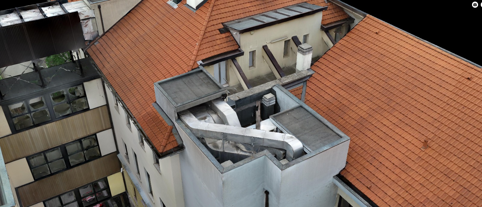
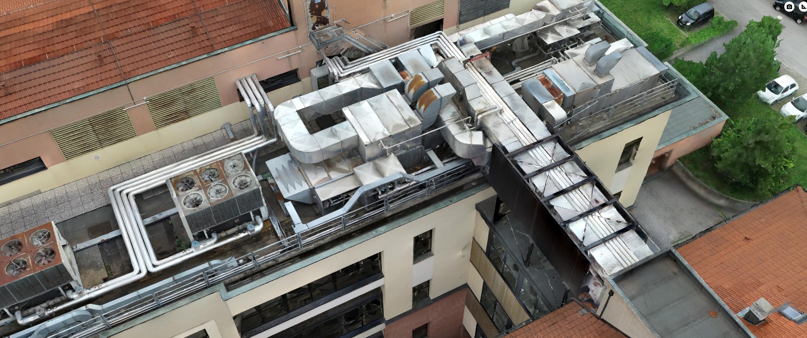
Rely on Dronemaster for professional BIM services and comprehensive survey and modeling solutions, designed for designers, construction companies, and asset managers seeking to harness the full potential of drone, terrestrial scanner, and GeoRadar technology for building management and maintenance.
Contact us for personalized consulting on your 3D modeling, BIM drone surveys, terrestrial scanning, and GeoRadar projects.
// Contacts ACTIVE CHANNEL
Request a technical assessment
Provide preliminary information regarding the operational context, existing infrastructure, and project objectives. A Dronemaster System Integrator will evaluate the technical, engineering, and architectural feasibility of the request.